Estimated reading time 3 minutes, 28 seconds.
Earlier this year, the United States Geospatial Intelligence Foundation (USGIF) recognized the 2017 recipients of its annual awards program during the foundation’s geospatial intelligence (GEOINT) 2017 Symposium held in San Antonio, Texas.
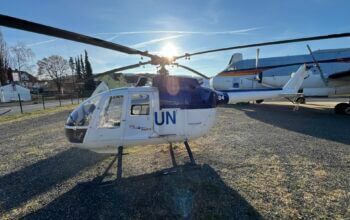
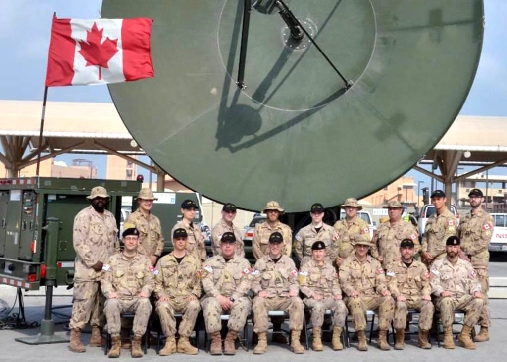
Among the recipients was a group from the Royal Canadian Air Force: the Unclassified Remote-sensing Situational Awareness (URSA) team.
The RCAF’s deputy commander, MGen Blaise Frawley, who was at that time the director general space at the RCAF, accepted the award on behalf of the team.
The USGIF Awards program annually recognizes the exceptional work of the geospatial intelligence tradecraft’s brightest minds and organizations that are pushing the community forward. Award winners are nominated by their colleagues and selected by the USGIF awards subcommittee.
“Unwavering commitment to service, inspired innovation, academic rigor, and discipline are just some of the words that define the exceptional accomplishments of this year’s awardees,” said Kevin Jackson, USGIF awards subcommittee chair. “Their accomplishments will have lasting effects on our nation and the world.”
The URSA team’s citation reads:
Military Achievement Award:
Canadian Armed Forces–In December 2016, the Canadian Armed Forces (CAF) deployed the URSA system to the Middle Eastern AOR [area of responsibility] under Operation Foundation. The innovative addition of a near real-time ship detection capability allows the system to support CAF and coalition maritime operations by sharing with the region’s combined maritime forces and U.S. Central Command. The result is an enhanced maritime common operating picture in previously dark areas of interest, improved situational awareness for deployed commanders, and cross-cueing of space, air and seaborne assets. URSA is a force multiplier highlighting the effective operational use of space-based maritime domain awareness.
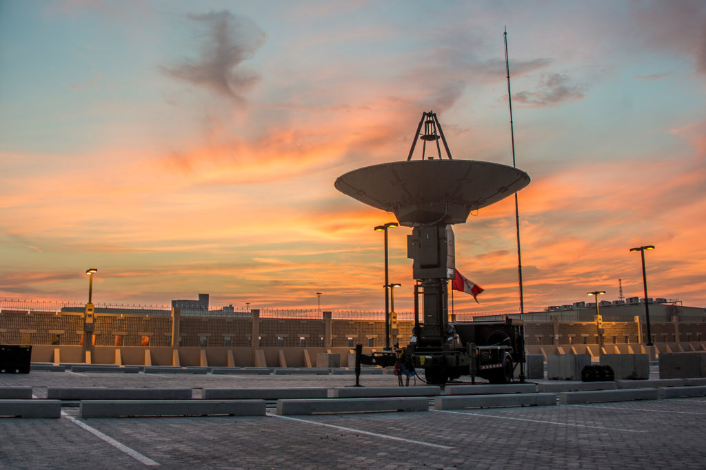
URSA is a satellite imagery receiver system: a mobile self-contained workspace for the collection, production, and utilization of imagery. The technology enables selected satellites to directly downlink unclassified high-resolution imagery of theatre AORs.
Responsibility for the space domain within the CAF was transferred to the RCAF last year. Deployment of the URSA capability is coordinated by the Canadian Space Operations Cell (CANSpOC), located in Ottawa and operationally responsible to the space component commander for the CAF (which is also the director general space).
“URSA will improve the CAF’s operational capability by eliminating the need for reach-back imagery support,” said Frawley when URSA was first launched on deployed operations in December 2016. “This will mean reducing delays and increasing situational awareness in near real-time–a real boost for continued mission success.”
– With files from the RCAF